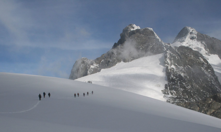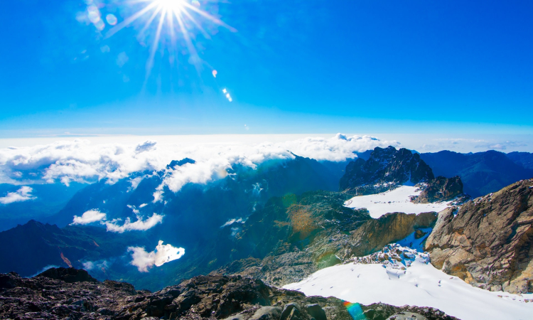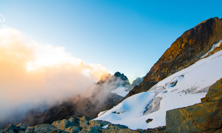

Mount Stanley is shared by both Uganda and the Democratic Republic of Congo. It stands at about 5,109 meters above sea level in the Rwenzori ranges, making it the third-highest mountain in Africa after Kilimanjaro and Mount Kenya. The mountain was named after the explorer Sir Henry Morton Stanley, though the locals call it Mount Ngaliema. It has peaks that are permanently covered with snow, sometimes referred to as the summit. The best way to experience this mountain is by hiking, where you may find yourself walking among the clouds for the first time.
The clouds around the mountain are often formed by moist winds from the Atlantic and Indian oceans. These bring rain, which is why it is important to choose the right season for hiking. Heavy rains can make the paths slippery and the hike more difficult.
Reaching Mount Stanley is simple. You can fly from Entebbe International Airport to Kasese or travel by road. The road journey can take you through the town of Fort Portal, or you can use the Masaka–Mbarara route which also leads to Kasese. Along the way, you can stop at local markets to buy necessities and interact with the people.
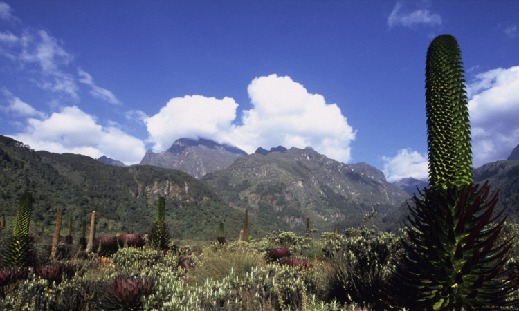
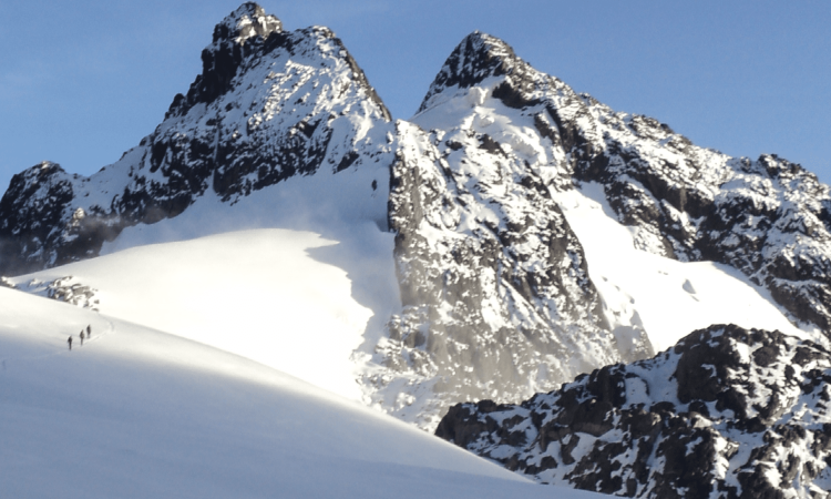
The Rwenzori ranges lie north of the equator, stretching about 30 miles wide and 80 miles long towards Lakes Edward and Albert. To the west, they border the Rift Valley and slope gently eastwards, forming the uplands of western Uganda. Unlike other snow-capped peaks in Africa, the Mountains of the Moon are not volcanic. Instead, they consist of six separate glacier-covered massifs, the highest being Mount Stanley, which holds Margherita Peak at 5,119 meters (16,795 feet).
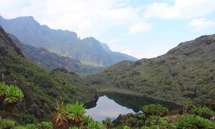
The Rwenzori Mountains are filled with rivers and valleys that drain into the Semliki River. Glaciers and lakes also occur in the upper valleys, providing water for local people for both domestic and industrial use.