Mount Rwenzori lies on the border of the Democratic Republic of Congo and western Uganda. It can be reached by both road and air transport depending on your budget, though most tourists prefer road transport because it is cheaper and more flexible than air travel.
By road, the journey takes about five to six hours. The shortest route is the Fort Portal–Mubende road, which covers about 300 km by a 4×4 vehicle. The longer route starts from Kampala through Masaka, Mbarara, and Bushenyi before reaching Kasese, covering about 350 km.
Road trips are preferred because they allow stopovers at local markets, where you can buy supplies or interact with locals. Many travelers also stop at the equator, a famous landmark with the imaginary line that divides the earth into the northern and southern hemispheres. Here, you can take photos or learn more about the history and geography of the equator.
For air transport, tourists can take chartered flights from Kajjansi Airfield or Entebbe International Airport. These flights land at Kasese Airstrip or Mweya, after which you continue by road for about 40 minutes to the Rwenzori Mountains.
Flights to Kasese are usually scheduled at 7:00 am and 12:00 pm, but you should always confirm availability in advance because flights may be canceled due to heavy rain or turbulence.
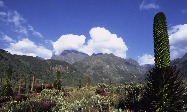
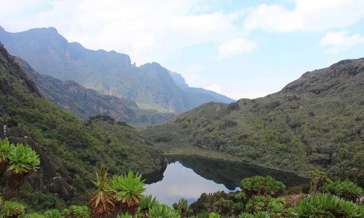
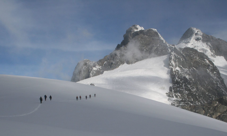
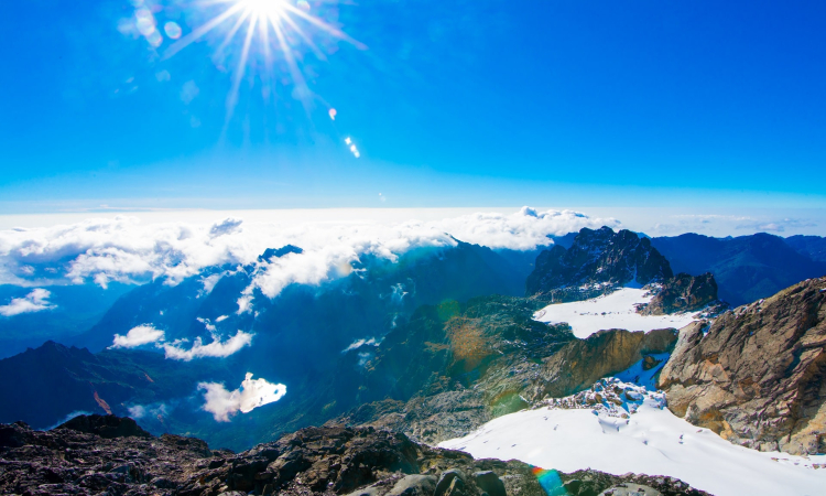
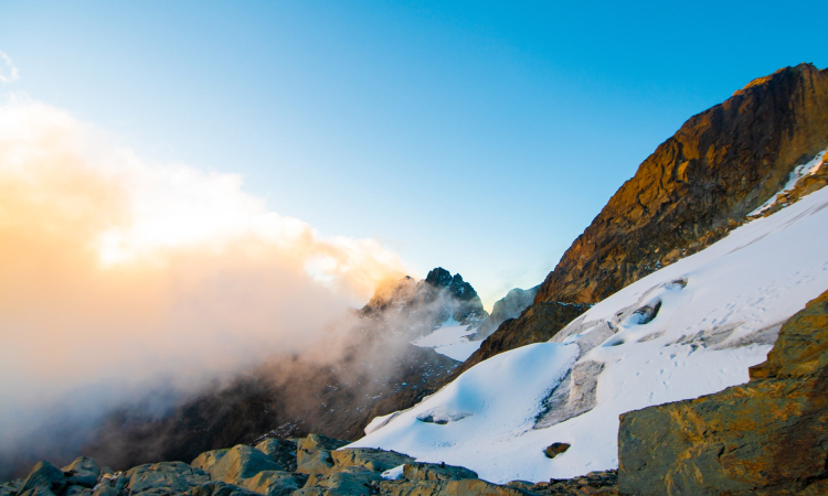
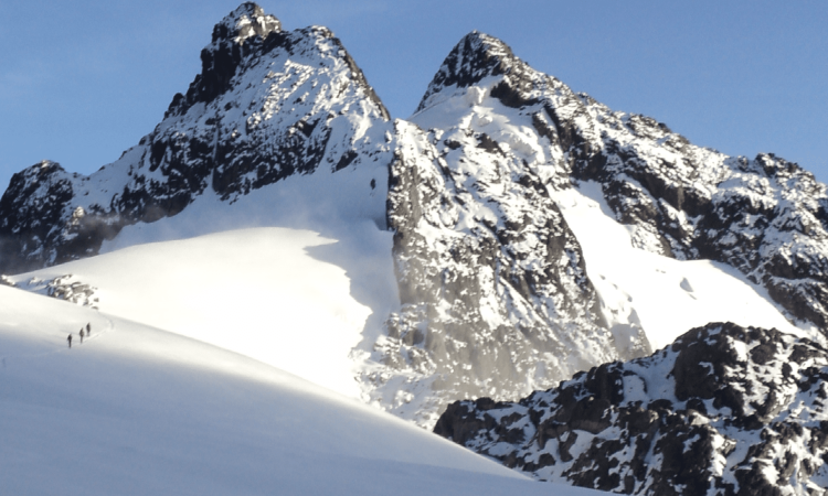
Once at the park, Uganda Wildlife Authority will brief you on the dos and don’ts to ensure safety for both visitors and wildlife. Popular activities include hiking to Margherita Peak.
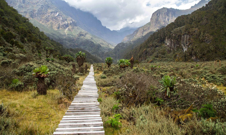
If you are unable to reach the top, you can stop at different points along the way, such as the Kilembe Trail or the Rwenzori Central Circuit Trail. Birdwatching is another popular activity, especially in the dry season when the trails are less muddy and easier to access.
Always follow your tour operator’s guidance for a safe and enjoyable climb.